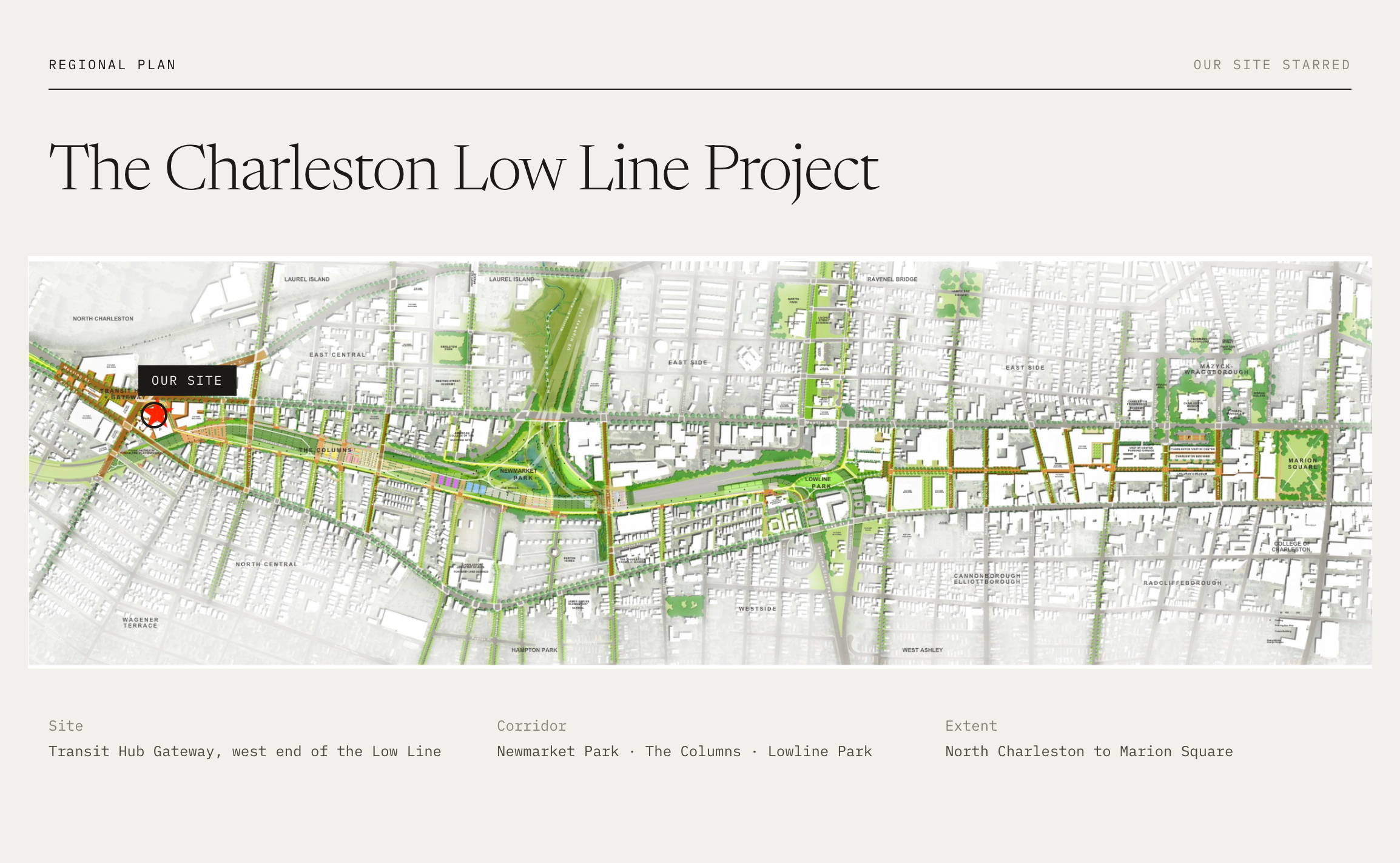
THE SITE
Located at the prominent intersection of King Street, Meeting Street, and Morrison Drive, the property enjoys exceptional visibility and extensive street frontage. It is also directly adjacent to the future terminus of the Lowcountry Low Line Linear Park, a transformative public-space project that will provide walking, running, and biking connections to the Upper King Street commercial district and surrounding neighborhoods. The site will also benefit from its proximity to the future Lowcountry Rapid Transit terminus, providing enhanced regional connectivity along the I-26 corridor, with future expansion extending toward Columbia. As one of the first prominent sites encountered when entering the Neck, this property has the potential to serve as a gateway to the district. Its visibility, scale, and strategic location call for a distinctive, iconic building that reflects the energy and continued transformation of Charleston’s Upper Peninsula.
Learn More about the Low Country Rapid Transit Project:
Learn More about the Low Country Low Line:
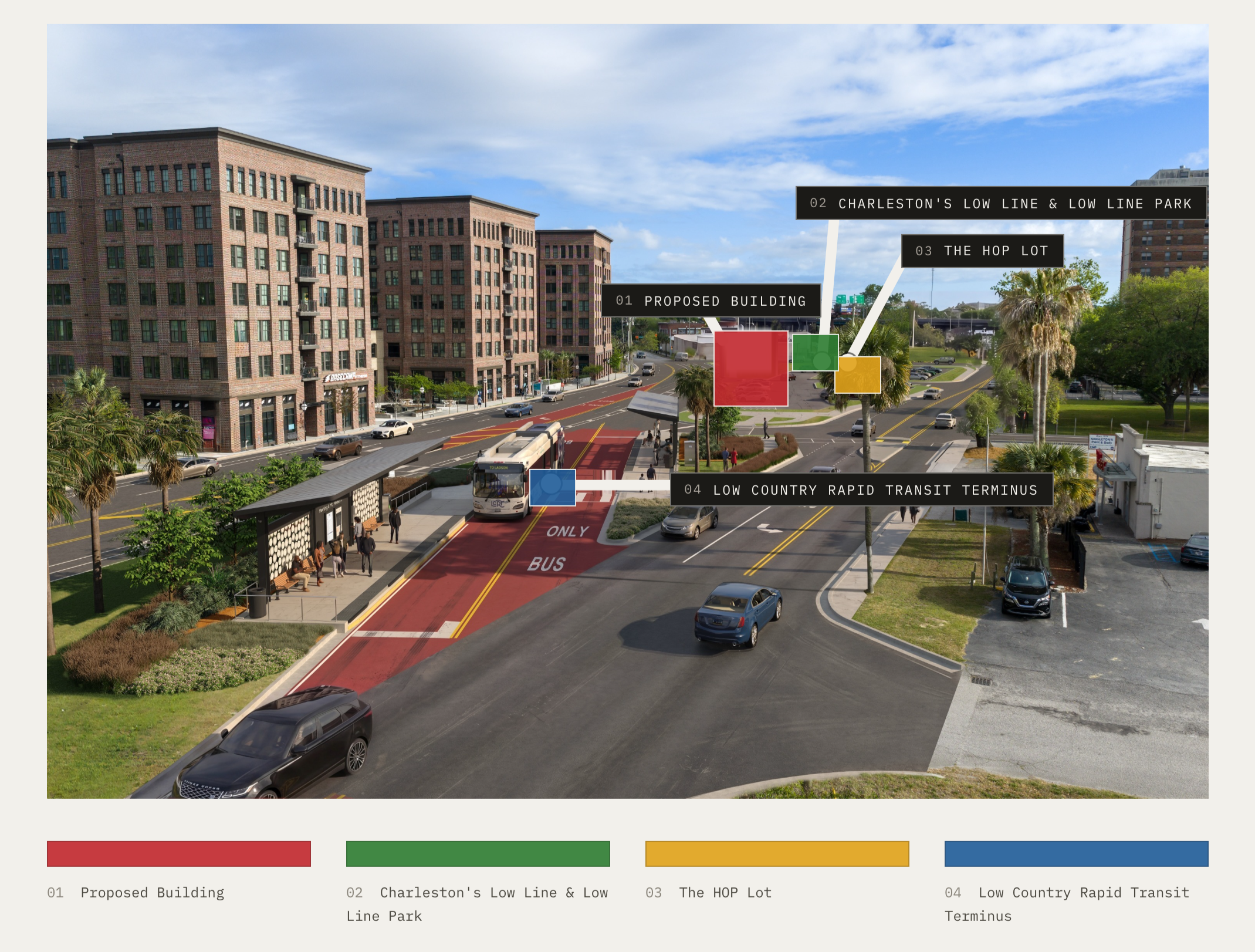
This parcel is ideally positioned in Charleston’s booming Upper Peninsula, one of the city’s most sought-after and rapidly evolving areas. New mid-rise apartment communities continue to transform the skyline, while an expanding collection of restaurants, breweries, and nightlife destinations has established the “Neck” as a vibrant urban district.